Dholera Metro Rail Progresses Towards 45-Min Commute
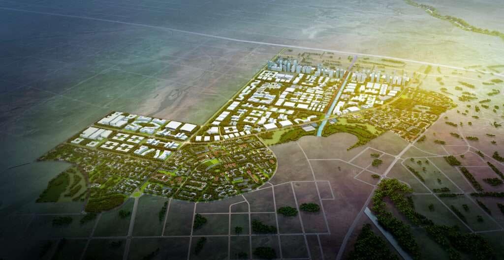
According to recent updates reported on DholeraPlatform.com, construction on the Ahmedabad-Dholera Semi-High Speed Metro Rail TP1 elevated viaducts is advancing rapidly. As a pivotal component of India's flagship Delhi-Mumbai Industrial Corridor (DMIC), this transit network is engineered to seamlessly link Ahmedabad to the Dholera Special Investment Region (SIR) Central Business District in under 45 minutes, fundamentally transforming regional connectivity.
Accelerated Viaduct Construction and Infrastructure Integration
Learn more in our official Dholera Smart City Infrastructure Overview and TP Schemes Land Maps.
The rapid pace of elevated station and viaduct construction along the expressway median highlights the tangible realization of India's greenfield smart city vision. By anchoring the metro alignment directly within the expressway corridor, planners have optimized land use while ensuring uninterrupted transit speeds. This multi-modal transit ecosystem connects seamlessly with the wider infrastructure framework of the region, creating a robust foundation for industrial logistics and daily commuter convenience.
Key Engineering Milestones of the Metro Corridor
- Design Speed: Semi-high speed transit capabilities engineered to dramatically cut down travel times between urban centers.
- Strategic Alignment: Elevated viaducts positioned strategically along the expressway median to streamline civil works and minimize land acquisition hurdles.
- CBD Connectivity: Direct access into the Dholera Smart City Central Business District, enhancing workforce mobility.
- Multi-Modal Synergy: Integrated transit planning that connects the metro network smoothly with upcoming logistics hubs and roadways.
Implications for Real Estate and Industrial Investors
For serious real estate investors, industrial developers, and global corporations, robust mass rapid transit is a critical prerequisite for operational success. The reduction of transit times to under 45 minutes makes Dholera a highly accessible destination for a skilled workforce, corporate offices, and manufacturing units alike. Stakeholders looking to evaluate land parcels or commercial opportunities can reference detailed Town Planning (TP) maps to understand zoning configurations along these transit corridors. Furthermore, comprehensive guidance on asset acquisition is available through our dedicated investment guide, ensuring a transparent and informed decision-making process.
Disclaimer: Real estate investments are subject to market conditions, regulatory policies, and project execution timelines. Investors are advised to conduct independent due diligence and verify all approvals through official government channels before making financial commitments.
Download High-Res TP Maps & Free Investor Tools
Planning an investment or tracking infrastructure in Dholera SIR? Access our verified GIS master plans, official mobile app, and free advisory.
Dholera TP 1 – TP 6 Maps
High-definition Town Planning master plans, road grid hierarchy, and zoning boundaries for all sectors.
Dholera Android APK
Real-time plot status, interactive GIS layers, push notifications for breaking news, and offline documents.
1-on-1 WhatsApp Advisory
Direct guidance from Naresh Gohel on NA/NOC clear titles, registry verification, and free site visit cab from Ahmedabad.