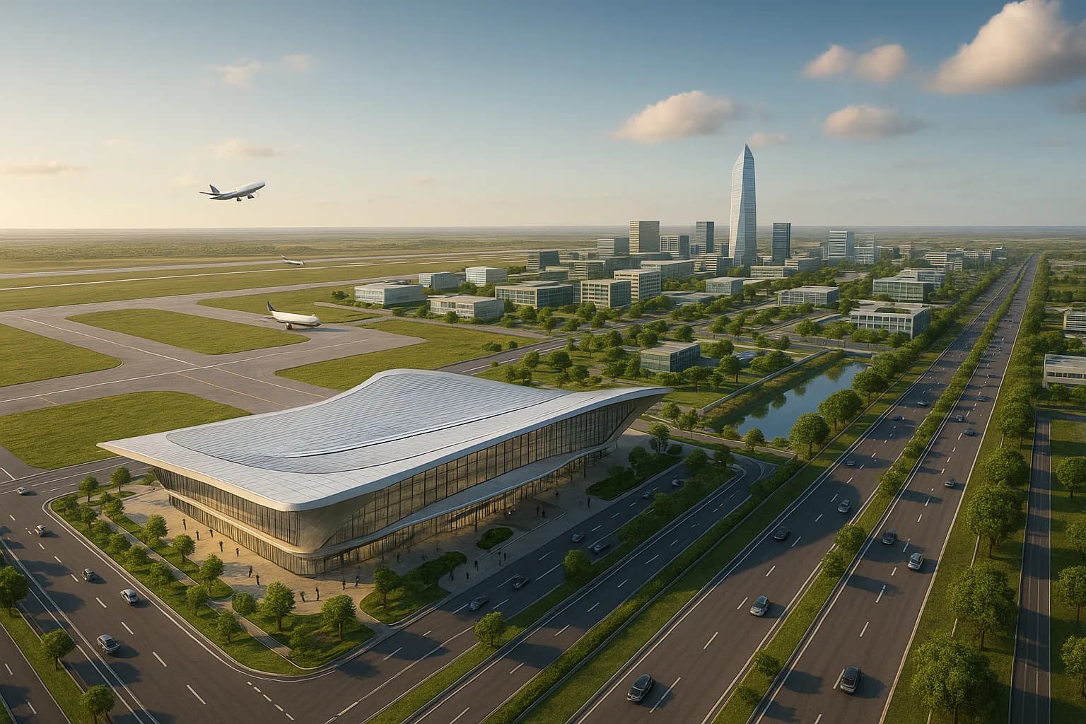
Dholera International Airport
Spanning 1,426 hectares (3,525 acres) across Navagam & Fedara. Designed as Western India's premier dual-use commercial & cargo aviation gateway.
Navagam & Fedara Aerotropolis Boundary
The airport is situated at the northern apex of the Dholera Special Investment Region across Navagam and Fedara villages (Dholera Taluka, Ahmedabad District). It operates under Dholera International Airport Company Limited (DIACL) with zero residential displacement.
DIACL Joint Venture Structure
Airports Authority of India (AAI)
Airport operator, air navigation, and engineering management
Government of Gujarat (GoG)
Land allocation, regional infrastructure, and state statutory clearances
NICDIT (Govt of India)
Industrial corridor financing and multi-modal freight integration
Airport Drive Times & Distance Matrix
ABCD Command Building (TP2A)
TP2 Commercial & Smart Residency
TP1 Logistics & Industrial Hub
Ahmedabad (SG Highway / Ring Road)
Construction Milestones & Timelines
Targeted Initial Flight Trials
3,200-meter Code 4E runway capable of handling wide-body passenger aircraft (Boeing 777 / Airbus A350) and 1.5 million annual passengers.
DVOR & Radar Installation
Advanced Air Traffic Control tower with Instrument Landing System (ILS CAT-I) and Doppler Very High Frequency Omnirange (DVOR) beacons.
Capacity Scale to 5M+ Passengers
Secondary 4,000m runway, dedicated international air cargo terminal, and bonded cold-chain logistics for semiconductor wafer transit.
NH-751 Direct Access
Direct expressway spur and proposed Ahmedabad-Dholera Semi-High Speed Regional Rapid Rail Transit (RRTS) station.
Obstacle Limitation Surface (OLS) Building Height Compliance
Land parcels located within a 5 km to 15 km radius of the runway centerline are subject to Directorate General of Civil Aviation (DGCA) Obstacle Limitation Surface guidelines. Structural height clearances (NOC) must be verified prior to high-rise commercial or residential development.
Interested in Airport-Side Property?
Direct access to Town Planning Scheme 1 & 2 parcels flanking the airport feeder corridor. Request a customized plot portfolio or schedule an on-ground site briefing with Naresh Gohel.